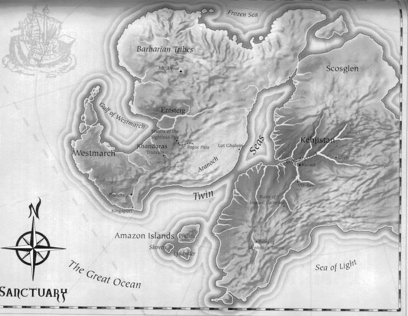
How to create illuminated contours, Tanaka-style | Free and Open Source GIS Ramblings
▻http://anitagraser.com/2015/05/24/how-to-create-illuminated-contours-tanaka-style
How to create illuminated contours, Tanaka-style | Free and Open Source GIS Ramblings
▻http://anitagraser.com/2015/05/24/how-to-create-illuminated-contours-tanaka-style

ah super justement je suis à la recherche d’une méthode pour ça (sous D3.js de préférence, mais au pire je ferai avec QGIS puis export en geojson)
quelques sources d’inspiration :
en fait là il s’agit d’utiliser joliment des contours provenant de données DEM (altitudes…) ; ce que je cherchais est un truc connexe : un script de calculs de contours
J’ai trouvé ça :
▻http://bl.ocks.org/mbostock/4241134

conrec.js
La suite : A Processing model for Tanaka contours
If you follow my blog, you’ve most certainly seen the post How to create illuminated contours, Tanaka-style from earlier this year. As Victor Olaya noted correctly in the comments, the workflow to create this effect lends itself perfectly to being automated with a Processing model.
The model needs only two inputs: the digital elevation model raster and the interval at which we want the contours to be created.
▻http://anitagraser.com/2015/07/12/a-processing-model-for-tanaka-contours
▻https://github.com/anitagraser/QGIS-Processing-tools/blob/master/2.9/tanaka_contours.model