2018 – Adventures In Mapping
/2018
-
-

Que lindo ! Pour compléter : ▻https://adventuresinmapping.com/2018/08/24/imhof-wold-map-mega-alpha-prototype
-
-
Lego Oceans – Adventures In Mapping
▻https://adventuresinmapping.com/2018/05/24/lego-oceans
#cartographie #lego #océans-
Et un mini site qui permet de créer des cartes en lego : ▻https://adventuresinmapping.github.io/brick-map
-
-

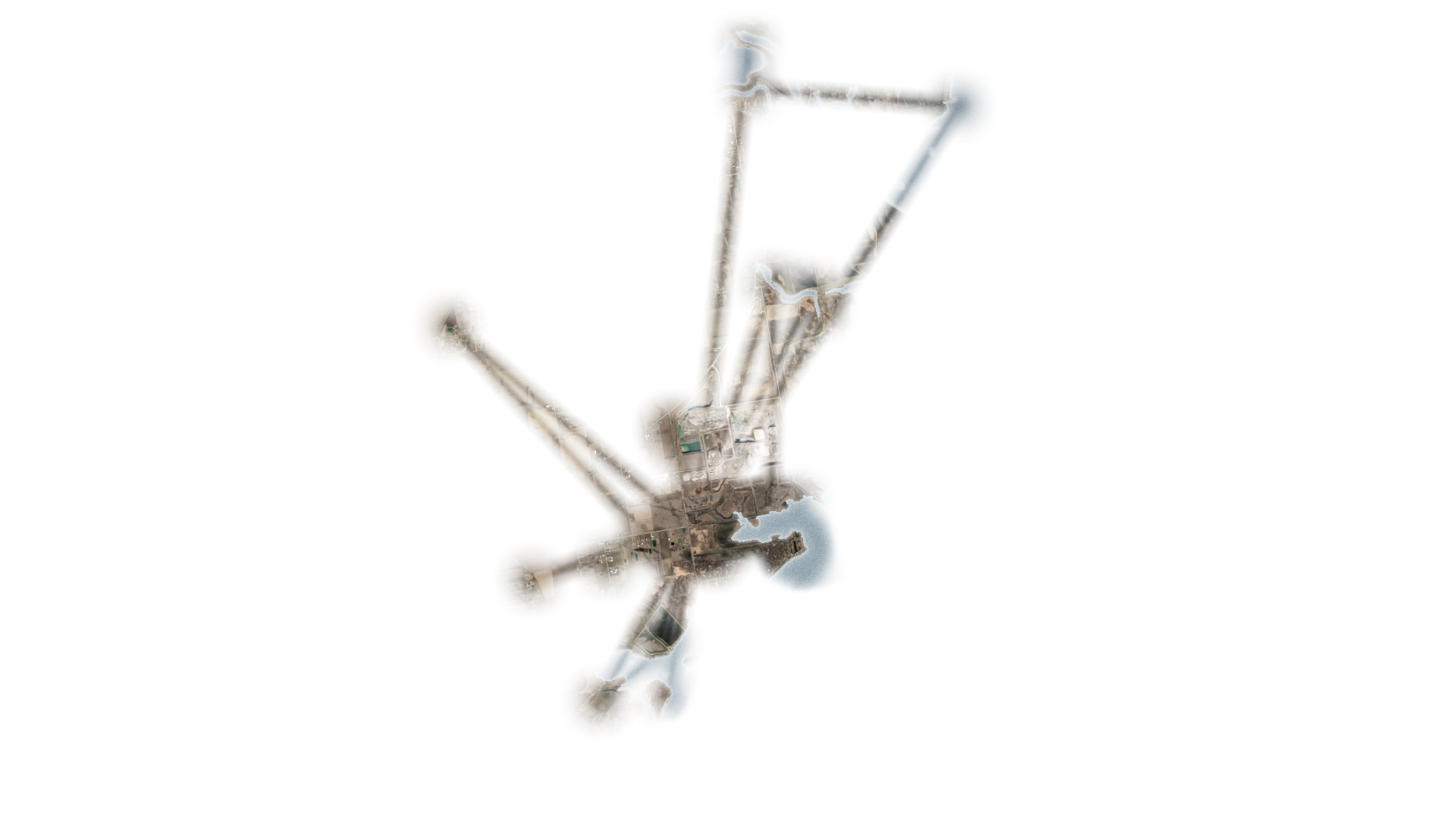
Animated Tornado Tree Rings
Cartographie (animée) des tornades, toujours sur Adventuresmapping▻https://adventuresinmapping.com/2018/04/13/animated-tornado-tree-rings
-
« Tornado migration », sur adventuresinmapping
▻https://adventuresinmapping.com/2018/03/29/tornado-migration
-
Une très jolie page consacrée à « Julie’s migration map » signalée par Laurent Jégou sur Twitter.
Julie est un balbuzard ou aigle pêcheur dont la trajectoire est enregistrée au cours de l’été et de l’automne 2015. Elle est née d’un poste de nidification construit par un scout sur une petite réserve internationale de faune située près de Détroit dans le Michigan. L’histoire de Julie et celle de la construction des cartes est disponible sur le site
#cartographie #migration #trajectoire #oiseaux #balbuzard
Pour en savoir plus : ▻https://adventuresinmapping.com/2018/05/10/julies-migration-maps
-
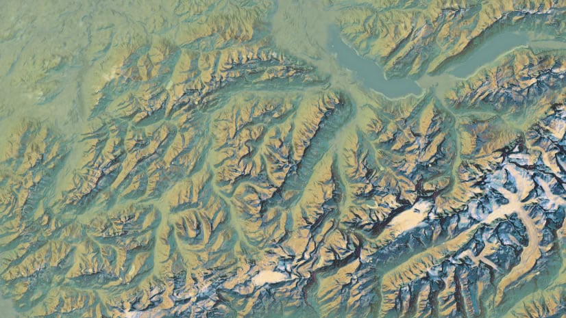
Physical #Map of Wyoming
▻https://adventuresinmapping.com/2018/01/31/physical-map-of-wyomingI was happy with the slightly lithographic quality and the strong framing of the state. You can follow the creation steps of this map here if you’d like to give the style a go for yourself, or if you’re just curious.
#tutorial : ▻https://nation.maps.arcgis.com/apps/Cascade/index.html?appid=90d9086246744916bebb9ae7d7e69efd
-
How to create illuminated contours, Tanaka-style | Free and Open Source GIS Ramblings
▻http://anitagraser.com/2015/05/24/how-to-create-illuminated-contours-tanaka-style-
ah super justement je suis à la recherche d’une méthode pour ça (sous D3.js de préférence, mais au pire je ferai avec QGIS puis export en geojson)
quelques sources d’inspiration :
-
en fait là il s’agit d’utiliser joliment des contours provenant de données DEM (altitudes…) ; ce que je cherchais est un truc connexe : un script de calculs de contours
J’ai trouvé ça :
▻http://bl.ocks.org/mbostock/4241134
Contour Plot - Mike Bostock
(contours calculés en mode raster)
puis enfin ça : (contours calculés en mode vecteur)
►http://emptypipes.org/2015/05/20/europe-isochrone-map
qui m’a emmené versconrec.js
▻https://github.com/jasondavies/conrec.js -
-
La suite : A Processing model for Tanaka contours
If you follow my blog, you’ve most certainly seen the post How to create illuminated contours, Tanaka-style from earlier this year. As Victor Olaya noted correctly in the comments, the workflow to create this effect lends itself perfectly to being automated with a Processing model.
The model needs only two inputs: the digital elevation model raster and the interval at which we want the contours to be created.
▻http://anitagraser.com/2015/07/12/a-processing-model-for-tanaka-contours
▻https://github.com/anitagraser/QGIS-Processing-tools/blob/master/2.9/tanaka_contours.model
-
-
-